


Drone use expands resources for waterway transportation inspections
Sep, 28, 2026 Posted by Gabriel MalheirosWeek 202640
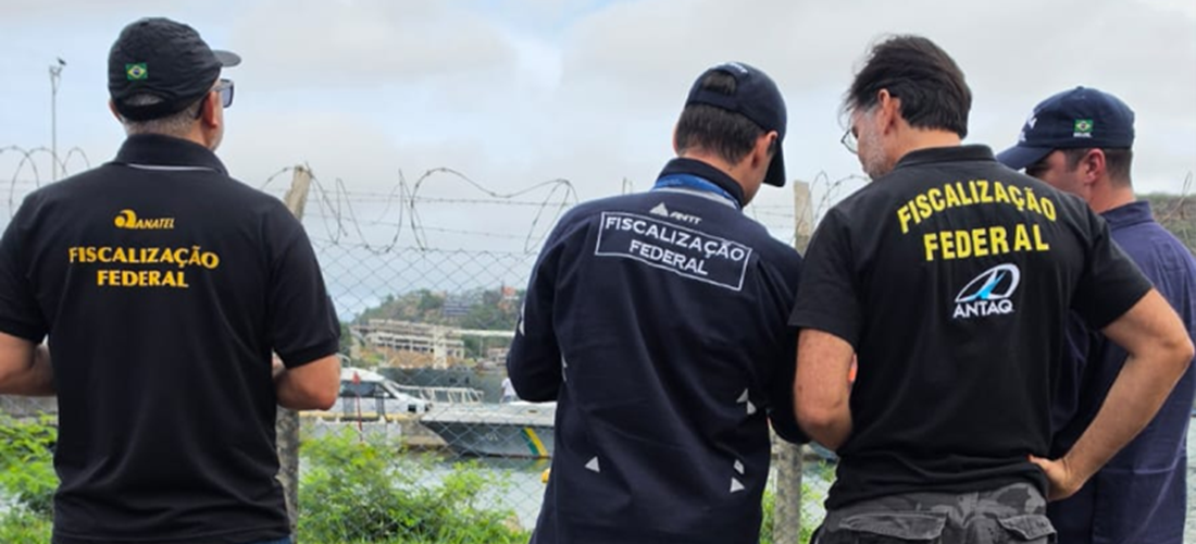
Inspecting waterway transport requires regular monitoring of infrastructure, operations and large or hard-to-reach areas. Since 2019, Brazil’s National Waterway Transportation Agency (ANTAQ) has used drones to gather information, support enforcement activities and monitor port infrastructure.
ANTAQ began testing Remotely Piloted Aircraft (RPAs) in 2016 at its regional office in Porto Velho (UREPV), following an initiative by regulatory specialist Wescley Sousa. Using his own drone, Sousa proposed testing the technology during inspections. The experience eventually paved the way for ANTAQ to adopt the equipment more broadly. In 2019, the agency formally incorporated RPAs into its operations and introduced a training course to ensure pilots could operate them properly.
According to Sousa, aerial imagery brought “a qualitative leap in inspection activities.” Drones make it easier to inspect hard-to-reach structures, including warehouse roofs and port equipment, without putting inspectors at physical risk. The images can also be used to measure areas, calculate volumes and create three-dimensional models of port facilities.
Drones are also used to monitor vehicle traffic on port access roads, yard occupancy and cargo movements at terminals. Images captured during flights are incorporated into reports and analyses prepared by ANTAQ staff.
Construction Monitoring and Technical Cooperation
The technology is not limited to inspections. ANTAQ also uses drones in other areas, including to monitor and verify progress on planned infrastructure projects.
Training programs for drone operations have also helped strengthen cooperation between public agencies. ANTAQ reserves places in its courses for staff from partner institutions, including the National Land Transportation Agency (ANTT), Anatel, the Brazilian Navy and port authorities. Cooperation extends to other areas as well. The Federal Police, for example, occasionally provides ANTAQ employees with training in photogrammetry, aerial mapping and geospatial data processing.
Source: Antaq
-
Ports and Terminals
Apr, 26, 2021
0
Argentina to move forward with the Antarctic logistics complex in Ushuaia
-
Ports and Terminals
Jul, 23, 2019
0
Federal Revenue seizes record volume of cocaine
-
Trade Regulations
Dec, 10, 2024
0
Japan Opens Market for Live Crab Exports from Brazil
-
Ports and Terminals
Jun, 21, 2024
0
Brazilian government slates BRL 500 million for dredging in the Amazon